
Data Source: Your community GIS
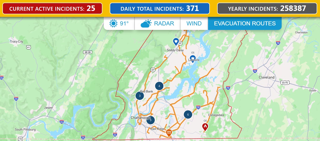
911 Emerge•N•See provides one
source that
brings all emergency data
together in one convenient location.
NOTE: We can load multiple options so you choose the right routes based on situation.
Evacuation Routes: From your GIS
Including clearly marked evacuation routes on your
community emergency website helps residents quickly identify the safest way to leave affected
areas during hurricanes, wildfires, floods, hazardous material incidents, and other emergencies.
Providing this information in one trusted location reduces confusion, improves public safety,
and helps communities evacuate more efficiently when time is critical.

