
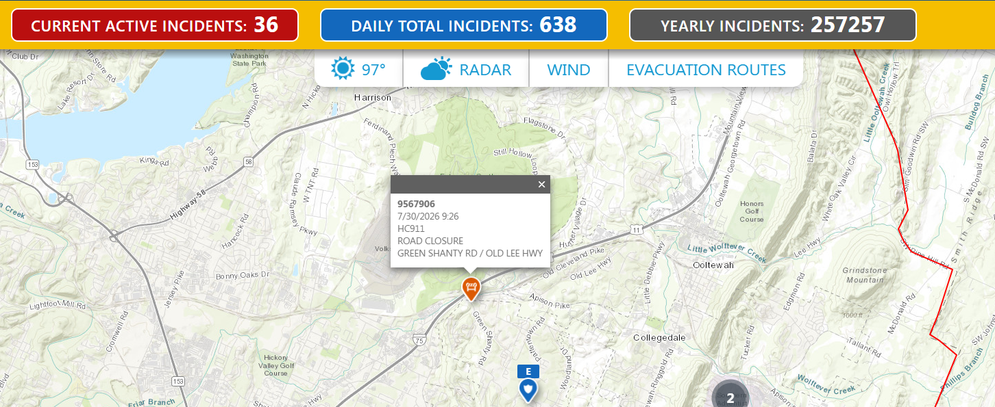
911 Emerge•N•See provides public-facing road closure information in a clear map-based view, helping residents and responders understand where travel may be restricted or disrupted. Provides road closure data from your GIS & DOT.
911 Emerge•N•See provides one
source that
brings all emergency data
together in one convenient location.
Road closure: From your DOT
Proactively provide up-to-date road closure information
for your community, allowing citizens to plan alternate routes ahead of time. Including
estimated reopening dates helps manage expectations, reduces frustration, and minimizes
unnecessary calls for updates.

