Near-real Time Incident Mapping
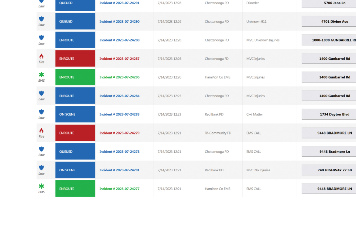
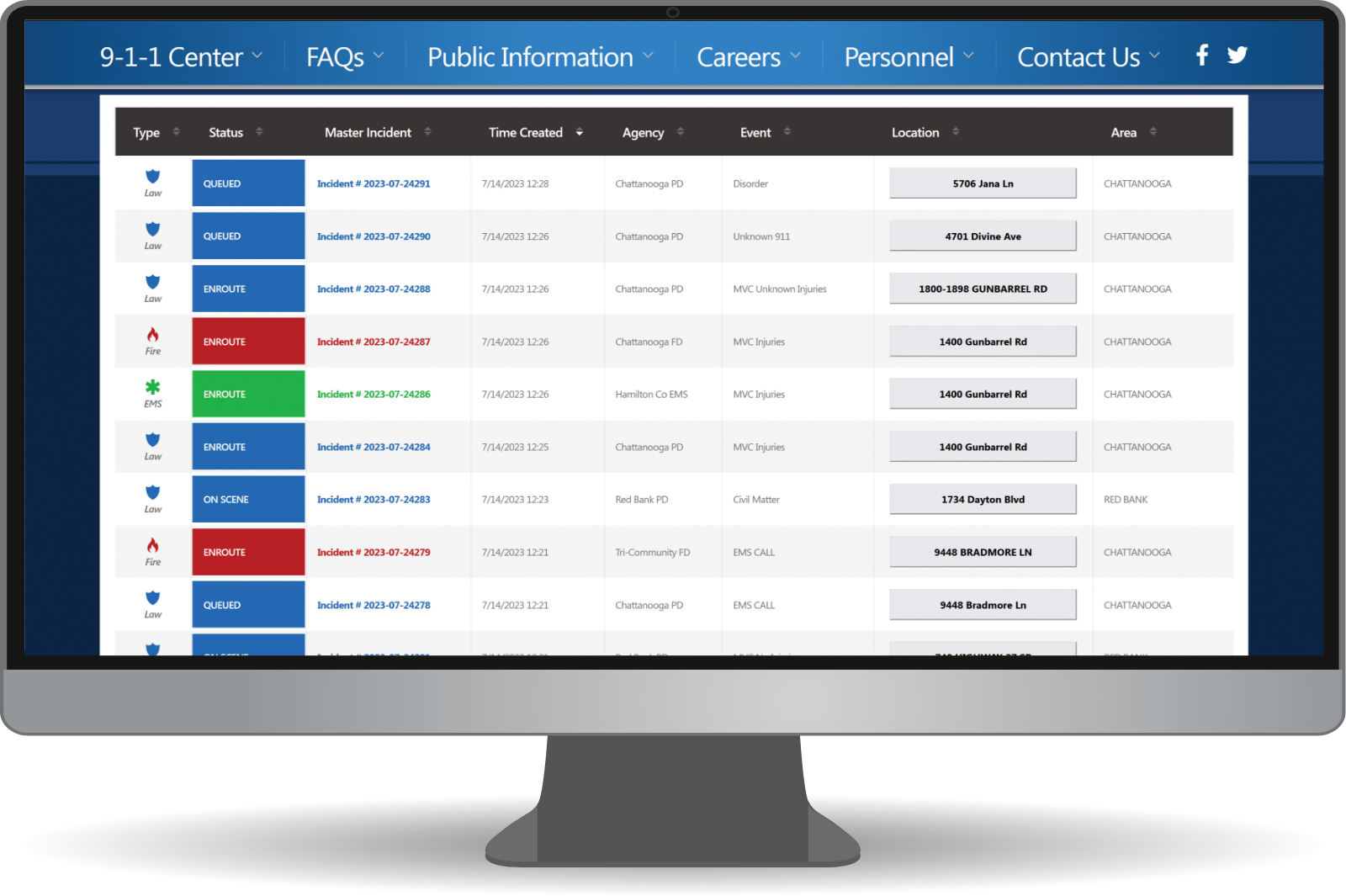
- Customizable, but can include: Agency Type, Status, Master Incident, Time Created, Agency, Event, Location, and Area
- Color coded by emergency service response first dispatched
- Ability to map the address upon click
- Can sort by region, area, and community
- Clean design, easy to read
- Can toggle to a dark mode option
- Filter options:
−Agency type (Fire, EMS, Police, Road Safety)
−Specific agencies and departments (Firehouse 9…)
−Area


