
Incident Mapping

911 EmergeNSee tailors the call list and pinpoint
map data that YOU want to make public by getting
direct feed call information from your 911 system.
Using only YOUR 911 database and privacy settings
that the authority having jurisdiction feels
comfortable releasing.

911 EmergeNSee provides data that brings all responding agencies together
in one convenient location.

How does it work?

Utilizing the highest security programming, filters are available to adjust the call description information, addresses, and number of units allowed to be visualized in the public arena. Refresh times are fully adjustable to delay release of call information to the comfort level of the first responders in your area.

map

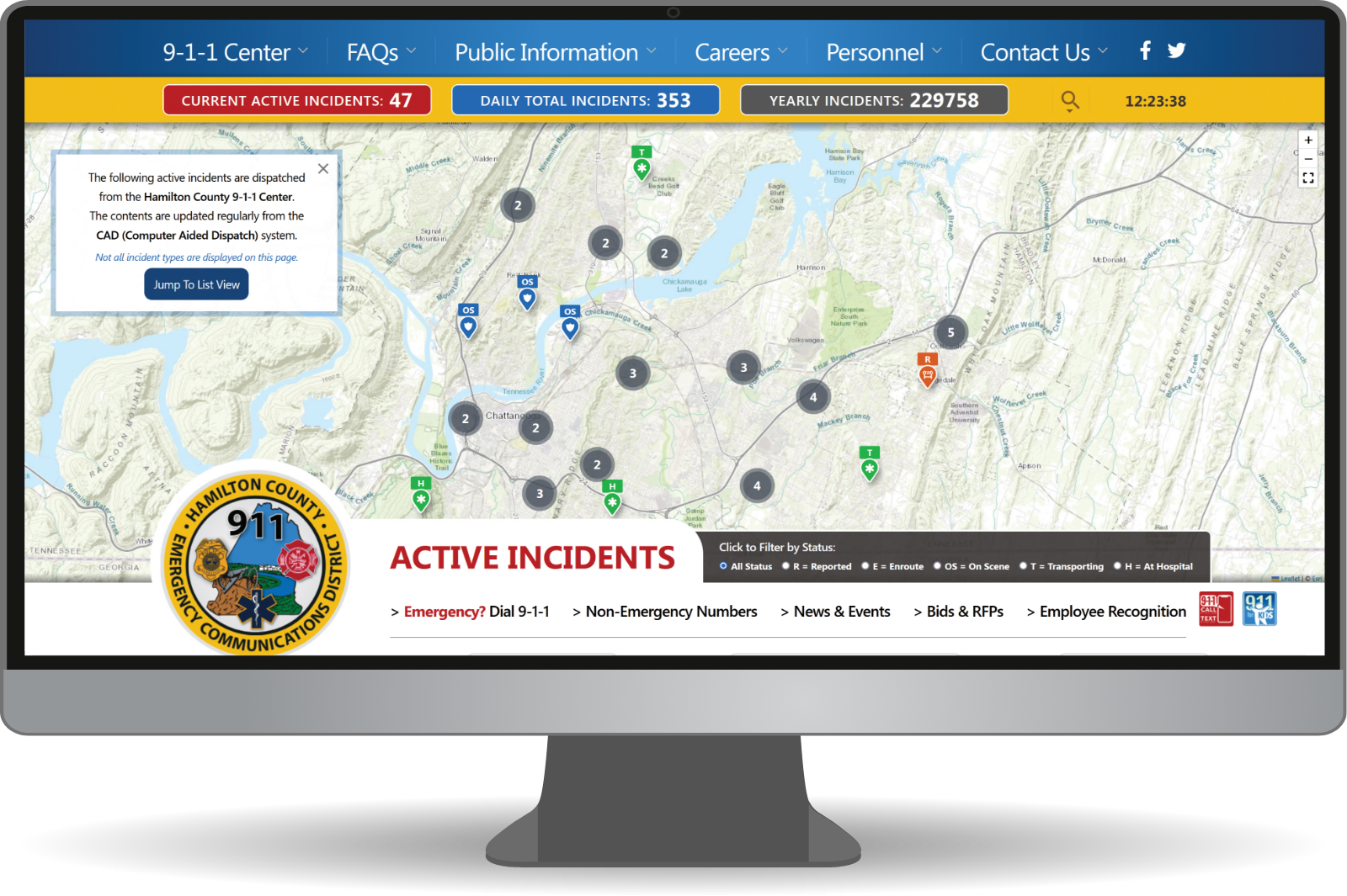
Near-real Time Incident Mapping

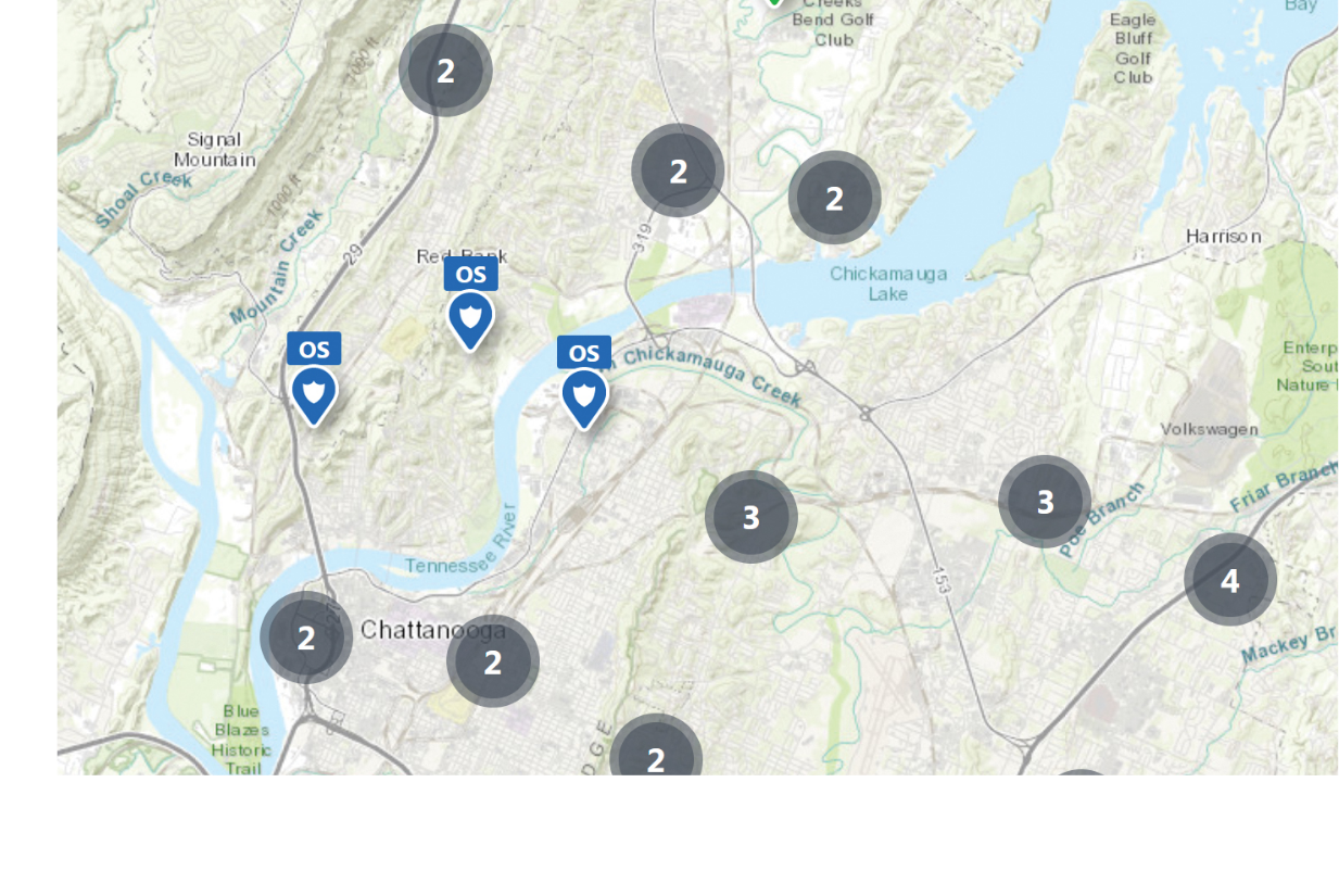
  • Community map locating active incidents near-real time
  • Easy mapping that allows scaling, zooming and dragging
  • Shows number of current active incidents
  • Shows number of daily incident totals
  • Shows number of yearly incident totals
  • Color coded icons represent each emergency service
  • Choice of map view or list view for incidents
  • Letter clearly designates response or call status
  • Os On Scene

    E Enroute

    R Reported

    T Transporting

    H At hospital

  • Cluster circles indicate the # of incidents within that area
  • Filter or view by: Agency, Incident type or Area
  • Easily roll over the balloon to see incident address and status
  • The emergency status letter is prominently displayed (E)